आंध्र प्रदेश Andhra Pradesh Bhu Naksha
Meebhoomi Andhra Pradesh · Revenue Department, Andhra Pradesh. Learn how to locate a parcel, review available map details and reach the official land-record service safely.
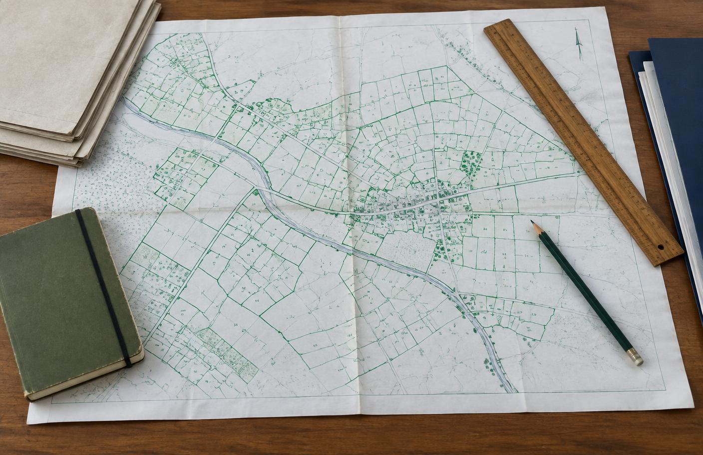
Cadastral map / भू-नक्शा
Illustrative onlyParcel outlines, plot numbers and the north indicator below demonstrate how a village map may appear. This is not a map of Andhra Pradesh or a real land record.
Portal overview / पोर्टल विवरण
| Detail | Information |
|---|---|
| Portal name | Meebhoomi Andhra Pradesh |
| Revenue authority | Revenue Department, Andhra Pradesh |
| NIC system | Not confirmed for this service |
| Total districts | Check the latest official state directory |
| Official portal URL | https://meebhoomi.ap.gov.in/ |
| Public viewing cost | Generally free where public map viewing is available; certified copies may carry charges |
How to view a map / नक्शा देखने के चरण
Follow this Andhra Pradesh selection path. Options can vary by locality or change on the official site.
- 01Open Meebhoomi Andhra Pradesh at meebhoomi.ap.gov.in; confirm the web address belongs to the government.
- 02Select District.
- 03Select Mandal.
- 04Select Village.
- 05Select Survey / Khata number or use the available map search control.
- 06Inspect the selected parcel and compare any displayed plot details with the current Record of Rights.
- 07Use the print or download option only if the official service offers it; obtain a certified copy for legal use.
Plot lookup worksheet / प्लॉट खोज तैयारी
Keep your location and plot reference together before opening the government website.
Before you search / खोज से पहले
0 of 4 checks complete
Your entries stay on this page and disappear on refresh. Never type an Aadhaar number, OTP, password or payment information here.
Required information / आवश्यक जानकारी
Plot / survey identifier
Keep the local Khasra, Khata, Plot, Dag or Survey number used in Andhra Pradesh.
Location
Know the District, Mandal, Village for the land.
Domicile
Usually not required to inspect a public record; some formal applications have eligibility conditions.
Mobile number
Usually unnecessary for public map viewing; may be required for an official OTP or certified-copy request.
Useful tools / उपयोगी टूल
Land area converter / भूमि क्षेत्रफल कैलकुलेटर
Convert the area shown on a record into other units. Items marked ~ are local units whose size varies by district — confirm with your tehsil.
Document checklist / दस्तावेज़ सूची
General guidance only. Requirements differ by state — confirm with the official office. Nothing you tick is saved.
Helpline & revenue contact / राजस्व संपर्क
Department: Revenue Department, Andhra Pradesh
Phone: No verified central map helpline listed; see official contact page or local revenue office.
Email: See the official department contact page for current addresses.
Please verify contact details on the linked official website before sharing documents.
Andhra Pradesh FAQs / अक्सर पूछे जाने वाले प्रश्न
Where can I view Andhra Pradesh land records? +
Start at Meebhoomi Andhra Pradesh (meebhoomi.ap.gov.in). Select District → Mandal → Village → Survey / Khata number as available. Meebhoomi is a land-record service; check its map or linked survey options.
Which number is needed in Andhra Pradesh? +
Keep the local parcel identifier, such as Survey / Khata number, from a recent official land document. Names and formats differ by locality.
Is the Andhra Pradesh map free? +
Public viewing is generally free where available. Fees may apply for certified copies and assisted services; verify the current official schedule.
Can I use this Andhra Pradesh map in court? +
An ordinary screen view or printout is not automatically certified evidence. Ask the competent revenue office for an authorised signed copy and legal advice.