Step-by-step / चरणबद्ध
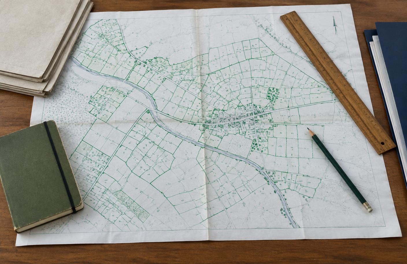
How to view a land map
Select a state, then follow the example sequence on its official government portal. The exact labels can change.
Uttar Pradesh · 10 steps
Official website: upbhunaksha.gov.in/
- 01Open upbhunaksha.gov.in in your browser.
- 02Select the district from the district menu.
- 03Choose the tehsil for the land location.
- 04Select the village from the list.
- 05Wait for the village cadastral map to load.
- 06Locate the parcel using the map or search field.
- 07Enter the Khasra/Gata number if the search option is available.
- 08Select the highlighted plot to inspect its boundaries.
- 09Review the plot details or linked record, if shown.
- 10Use the print or report option if available; verify records at the tehsil.
Plot lookup worksheet / प्लॉट खोज तैयारी
Keep your location and plot reference together before opening the government website.
Before you search / खोज से पहले
0 of 4 checks complete
Your entries stay on this page and disappear on refresh. Never type an Aadhaar number, OTP, password or payment information here.
Land area converter / भूमि क्षेत्रफल कैलकुलेटर
Convert the area shown on a record into other units. Items marked ~ are local units whose size varies by district — confirm with your tehsil.
Square metre (वर्ग मीटर)4,046.86
Square foot (वर्ग फुट)43,560
Hectare (हेक्टेयर)0.404686
Guntha (गुंठा) ~40
Bigha – UP pucca (बीघा) ~1.6
Kanal – Punjab/Haryana (कनाल) ~8
Decimal / Dismil (डिसमिल)100
Document checklist / दस्तावेज़ सूची
General guidance only. Requirements differ by state — confirm with the official office. Nothing you tick is saved.
0 / 4 ready
Downloaded maps are usually for reference only. Request a certified copy from the relevant revenue office or authorised service centre for legal purposes.